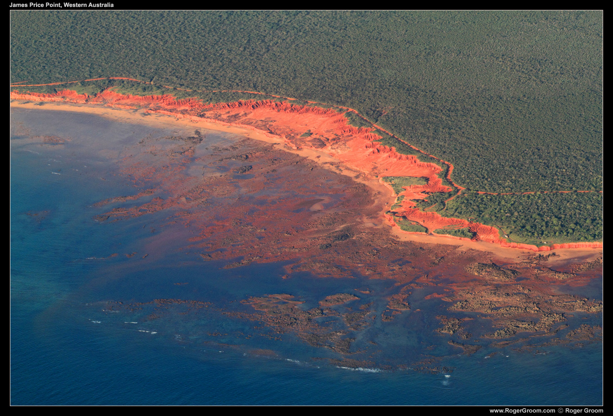
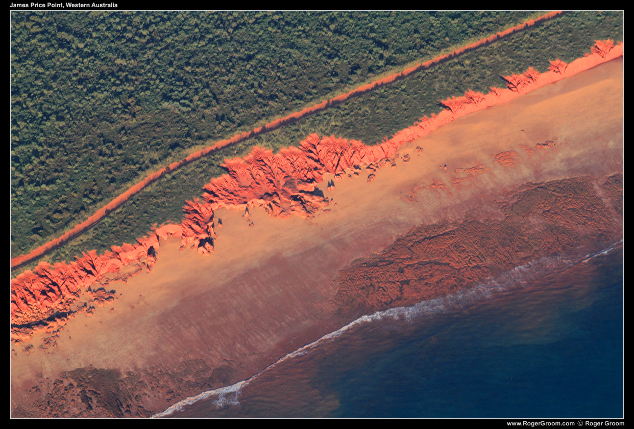
It was very interesting to see and photograph first hand James Price Point on my recent trip to Broome and the Dampier Peninsula.
James Price Point has had a lot of controversy in recent years with the proposal by Woodside to build a gas processing hub there and the forced acquisition of the land by the state government for Woodside to use. Of course the usual debate persisted, jobs and economic benefits vs environment. Money always wins, and in this case money has in the end determined that James Price Point is not a preferred location so the processing hub will not be built there (for now). A win for environmentalists and the 80% of the Broome community opposing the development. I also am glad of the decision, as a photographer and someone who enjoys our environment as it is I find it frustrating to have bulldozers continually robbing our future generations of what we have now.
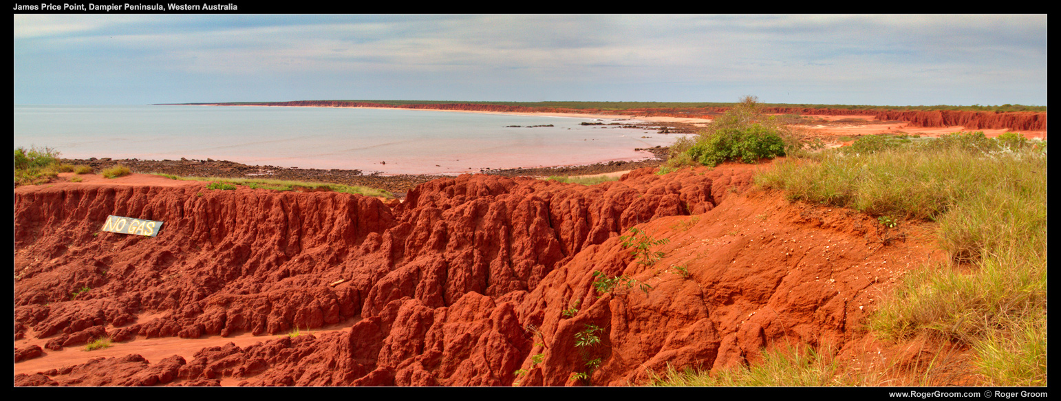
We drove to James Price Point one day, and then flew over it the following day. Driving there my first impressions were of the amazing red dirt and cliffs meeting the ocean, it’s remoteness, and that it appears to be a popular place for people to visit yet is lacking management somewhat overrun by use. When I say it was lacking management, it appeared weeds had taken over the cliff tops and people drive their 4×4 and camp where they wish. It didn’t appear a pristine environment along the clifftops.
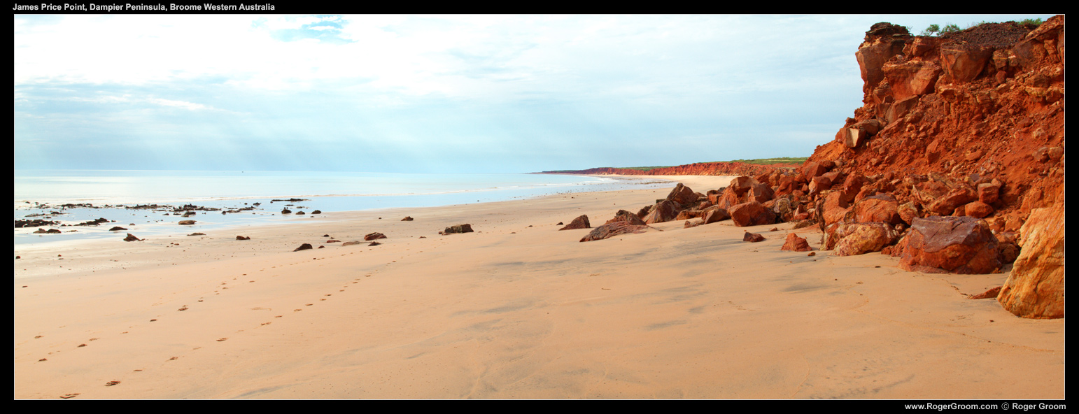
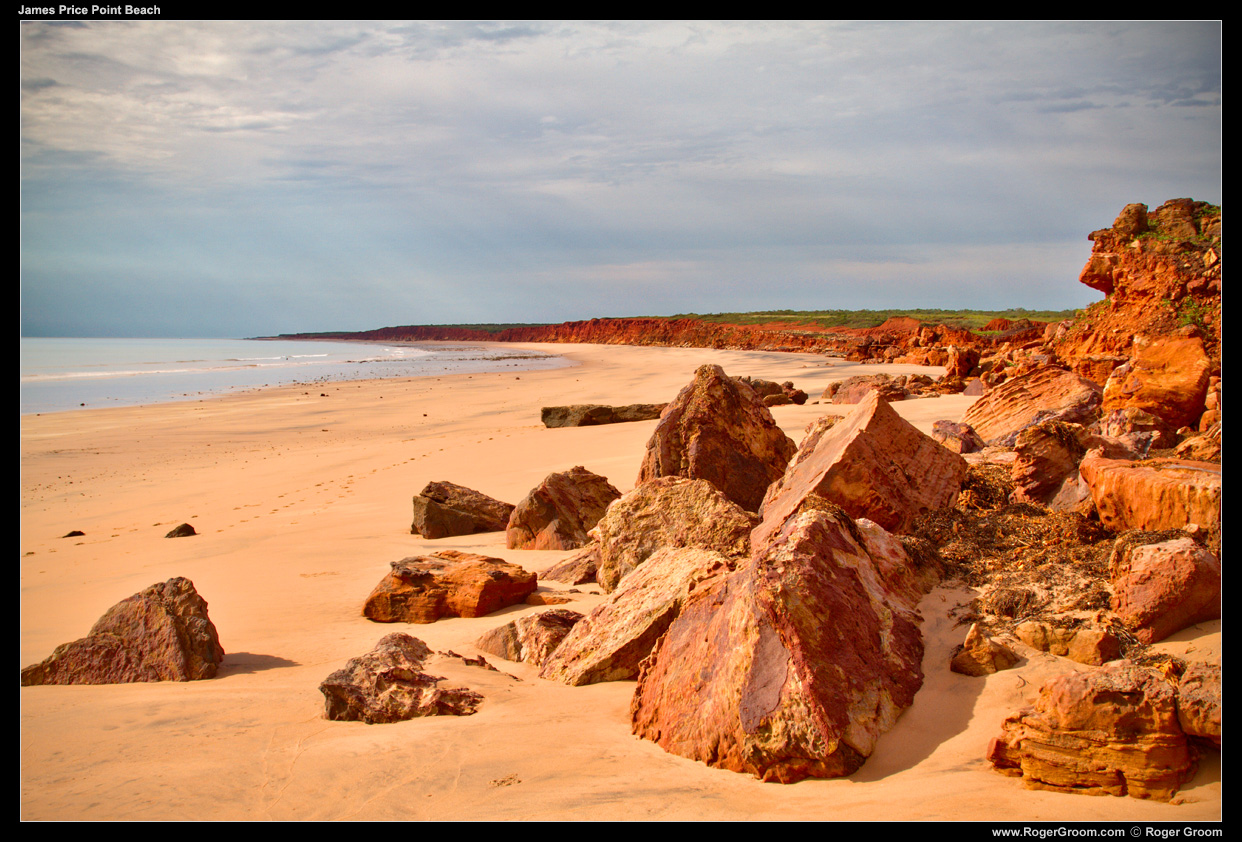
Below the cliff tops the beaches are expensive, as are the areas of red and rust coloured rocks, especially at low tide. The beach appears pristine and the rock crevices filled with various interesting creatures. We didn’t find the dinosaur footprints that are apparently at the site.
When we flew over James Price Point it became evident how unique it is amongst the Dampier peninsula. I have only visited for a few days, so could perhaps be proved wrong, but flying from Cape Leveque to Broome it seemed to me JPP was the one fine example where red cliffs meets ocean, in amongst a coastline of mangroves, mudflats and other coastline. This made me think “they could have picked almost anywhere else and it would all be different!”.
I hope that in the future management of James Price Point is improved to better preserve it and nurture it as a valuable tourist location, or as a remote and clean location to visit.
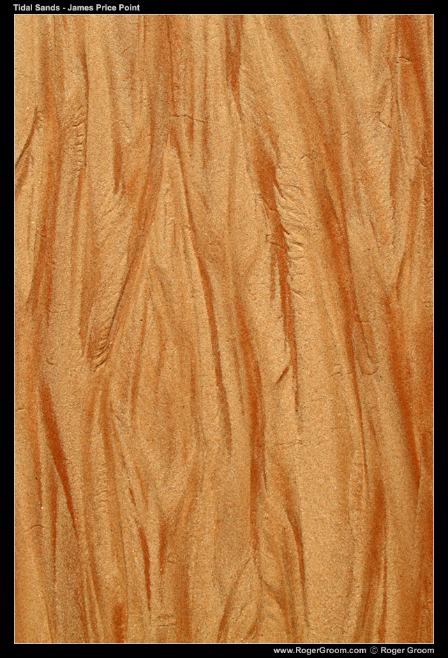
Below are some photographs of James Price Point from when we visited by 4×4 on the ground and when we flew over. Due to time restrictions and insurance restrictions on our hire car we visisted James Price Point at the worst time of day for photography – arriving at about 2pm and leaving at about 3:30pm. It was hot! the sun is beats down like you are on a desert when on the expansive red rock and beach areas.
